Results of NOAA Ship Naming Contest
You may remember when we posted a request to our TASAA Facebook page for you to submit your naming ideas for two new NOAA charting and mapping vessels. After reviewing them to ensure that they met the criteria in the NOAA vessel naming policy, viable suggestions went through the review process.
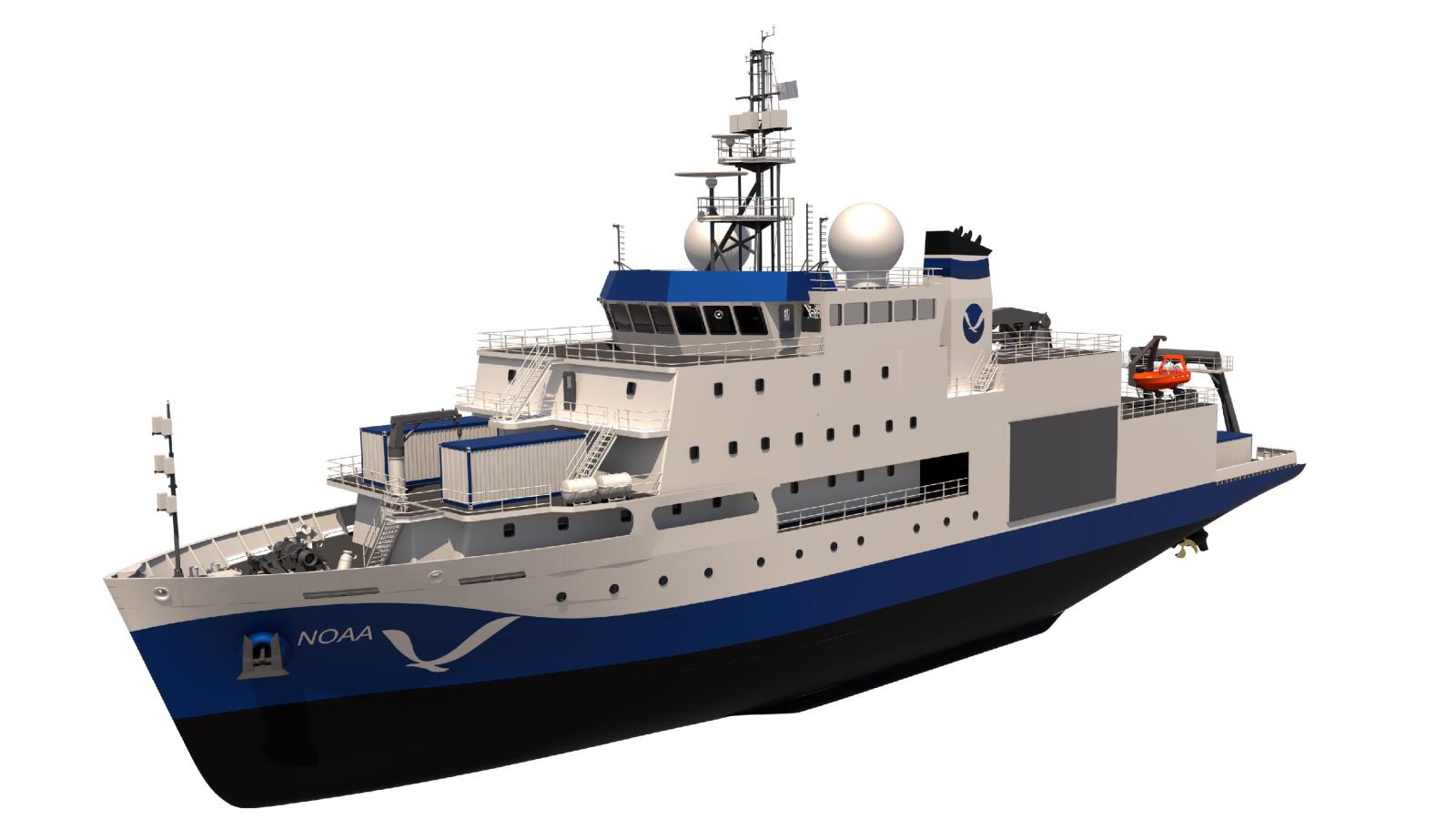
In total, NOAA received more than 900 suggestions! NOAA recently announced that the new vessels will be named Surveyor and Navigator. You can read more about how these names were decided in this web story.
The TASAA staff reviewed and submitted the most appropriate names from our alumni and here are a few of our favorites (grouped by submission categories). Thanks again to each of our alumni who participated.
Those that have made significant, uncontested contributions to NOAA or its predecessor agencies (e.g. Ferdinand R. Hassler, Bell M. Shimada).
Marie Tharp
“This scientist’s contribution is inextricable to the mission of the mapping ships in NOAA’s fleet. She deserves this honor so that young girls now in school can be inspired and understand that they too can make a difference in better understanding our planet. Tharp began her career at a time when few women became scientists. Because of her gender, she wasn’t even allowed on the ships that collected the seafloor data that she used to make her maps; she didn’t set foot on a research cruise until 1968. Her early evidence of seafloor spreading was dismissed as “girl talk.” (from the Columbia Climate School) Naming a NOAA ship after Marie Tharp would be a wonderful way to recognize her important contribution.”
Spencer Baird
“First Commissioner of U.S. Commission of Fish and Fisheries”
Sacagawea
“Sakakawea or Sacajawea; May c. 1788 – December 20, 1812, or April 9, 1884 was a Lemhi Shoshone woman who, in her teens, helped the Lewis and Clark Expedition in achieving their chartered mission objectives by exploring the Louisiana Territory. Sacagawea traveled with the expedition thousands of miles from North Dakota to the Pacific Ocean, helping to establish cultural contacts with Native American people and contributing to the expedition’s knowledge of natural history in different regions.” (Wikipedia)
Samuel Clemens
“Samuel Clemens, Mark Twain, mapped water levels in the Mississippi River, and then took the measurement as his [pen] name.”
Mercator
“Although Gerardus Mercator didn’t travel as much as his map making skills would lead us to believe, he paved the way for modern day geographers, cartographers, and explorers. In 1569 Gerardus Mercator created a world map based on new projection, which was represented by straight lines (constant bearing). Rhumb lines were used as directional headings, even though the Earth isn’t flat. Today, NOAA cartographers use the ‘idea’ of Mercator projection to determine where to steer a ship over a course plotted on a chart, but the technology has changed drastically since 1569. Currents and storms can make a ship’s direct path change from day to day, but Mercator’s ideas have inspired the creation of modern nautical charts. These special charts are important for the navigation of all marine vessels.”
Alfred Wegener
“Alfred Wegener’s proposal of plate tectonics is a perfect example of science in action: proffered hypotheses and then the seeking of evidence to support those hypotheses “
Jimmy Buffett
“While not directly related to NOAA, Buffett connected/s folks with the ocean and world around us in many of the areas listed (mission: conservation; environmental: storytelling; myths: storytelling; geography: latitudes and attitudes; decommissioned ships and deceased individuals: galore). It’s a hat tip to the Gulf Coast (and Florida – he was from Pascagoula) that perhaps elevates awareness of NOAA’s work in a different audience, and offers a different legacy for a guy who did some good.”
[We realize that this was the least likely to be approved, but most likely to be our “secret” ship nickname…]
The mythological or traditional name should be reflective of this Nation’s diverse cultural past (e.g. Pisces or Hi’ialakai).
Sedna’s Discovery
“It pays homage to the Inuit goddess of the Sea. I thought it was nice to pay homage to a Native American tribe while still expressing the mission, discovery, of the NOAA vessel.”
Hikawainui
“In the Hawaiian creation chant, Kumulipo, the second wā or part details the extent of Kanaloa, the god of the sea. One of the terms used is Hikawainui, which means ‘the long spreading waters’. To me, it represents the path one takes on a voyage, as the sea continues to open up at the bow of any vessel.”
Qualupalik
“Qualupalik is a sea creature that lures children to the shore. The elders have cautioned children to avoid the shore line unless an elder is present but they are ignored. This name would honor a folklore tradition from the Alaskan indigenous peoples whose lives are tied to the ocean for survival. You can view an artistic telling of the Qualupalik story here.”
Cetus
“Ocean mythological creature (Greek), constellation.”
Atlas
“In honor of the mythological Titan, Atlas, Gerardus Mercator (cartographer) coined the term “Atlas” to describe his collection of maps. According to his 1595 published document, which was translated by David Sullivan, Mercator viewed the Titan Atlas as one of the first great geographers. We also know Atlas as the Titan who was condemned to hold up the heavens for eternity. This is an example of great strength, endurance, and stamina – all of which are descriptors of the fleet of NOAA ships that are used for research, surveying, collecting samples, and mapping uncharted waters.”
The name must reflect some aspect of NOAA’s overall mission or mission service areas (e.g. Oceanographer or Surveyor).
Oceanic Cartographer
“I thought it describes effectively the mission and the purpose of the vessel.”
Portolani
“Portolani or portolan maps are ancient nautical charts first made in the 13th century around the Mediterranean. They later expanded to include other regions and are noted for their high cartographic accuracy, notwithstanding the very limited technical means available.” (Wikipedia)
Those phenomena may not include any phenomena that have caused major loss of life or property.
Hōkūpa’a
“Hōkūpa’a is the Hawaiian name for Polaris. It the primary star for navigation in the Northern Hemisphere, owing to its nearly stationary status in the night sky. No matter where you are in the Northern Hemisphere, this star will help you find your way.”